This three-and-a-half-mile hike loops around Point Mountain, one of the highest points in Hunterdon County. It climbs rather steeply to a panoramic viewpoint on the ridge of the mountain, descends to follow mowed paths along fields, then runs along the scenic Musconetcong River.
Because of the climb of about 500 vertical feet at the start, the hike is rated moderate. (The remainder of the hike has gentle descending grades or is nearly level.) It should take about two and one-half hours to complete the entire loop (and there is an option towards the end to shorten the hike). A free trail map is available online at www.co.hunterdon.nj.us/DocumentCenter/View/2966/Map-for-Central-and-South-Areas.
To get there, take I-80 West to Exit 26 (Budd Lake/Hackettstown) and proceed west on US 46 for 7.4 miles to Hackettstown. Turn left onto NJ 182 and follow it for one mile, then turn right onto NJ 57. This section of NJ 57 passes mostly through rural areas of farmland and has been designated a scenic byway. Follow NJ 57 for six and a half miles and turn left at the traffic light onto Point Mountain Road. Continue for 0.4 mile to a truss bridge over the Musconetcong River. The parking area is on the left, about 300 feet beyond the bridge. GPS address: 100 Point Mountain Road, Washington, New Jersey 07882. The park is about 60 miles from Teaneck, and it should take about one hour and 15 minutes to get there.
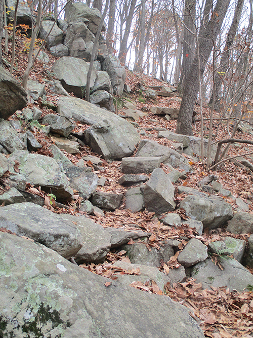
From the kiosk near the entrance to the parking area, head uphill on the blue-blazed Riverwalk Trail, which follows a rocky footpath. In 250 feet, the blue-blazed trail turns left, but you should proceed ahead on the orange-blazed Ridge Trail, which continues to climb. After the trail makes a sharp right turn, the grade steepens. It briefly moderates, but after bearing left, with a home below on the right, the trail continues to ascend on a rocky, rugged treadway, with rock and wood steps provided for part of the way.
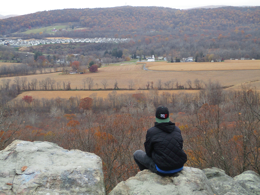
After the trail bears sharply left in sight of another private home below on the right, the grade moderates. The trail makes another short but steep climb and reaches a panoramic viewpoint over the Musconetcong River valley from a rock outcrop to the left of the trail. The tranquil view includes farms and small towns. This is a good place to take a break and rest from the climb—the one steep ascent on the hike.
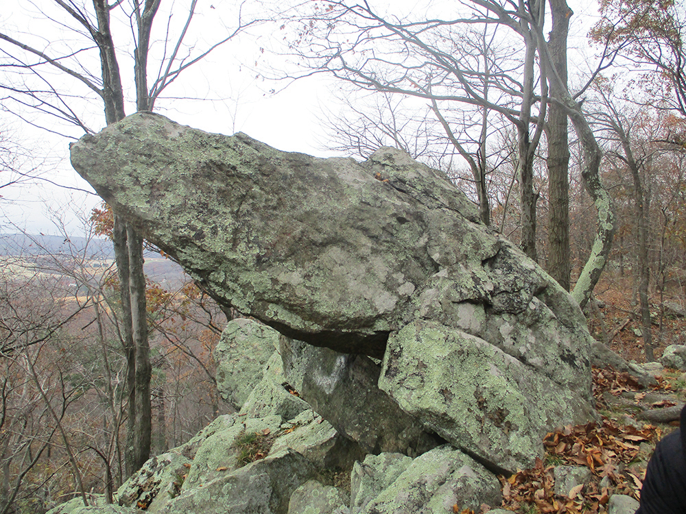
The Ridge Trail now briefly descends to a junction with the yellow-blazed Overlook Trail. Here, it bears left and climbs to regain the ridge. Follow the orange-blazed trail as it continues along the ridge, with views through the trees on the left. Along the way, you’ll pass an interesting pointed rock on the left and then descend rock steps. After about half a mile of ridgetop walking, the trail bears right and descends slightly to parallel an old stone wall. Here, the White Trail begins on the right, but you should continue to follow the orange-blazed Ridge Trail, which turns left and climbs back to the ridge. (At this writing, some of the blazes on the trail along the ridge are red, rather than orange.)
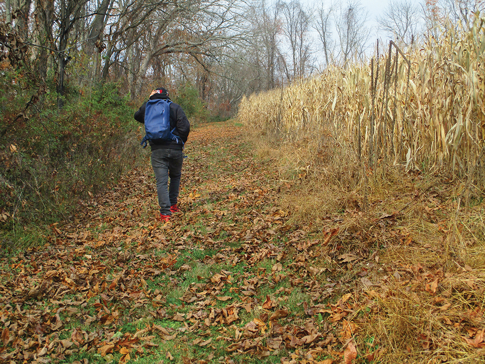
Soon, the trail begins a steady descent from the ridge. After crossing a stream, it turns left and follows a woods road downhill. Near the base of the descent, the White Trail leaves to the right. Continue ahead on the orange-blazed trail, which emerges onto a field and follows a mowed path along its left side. At the end of the field, it bears left into the woods and emerges onto another field. Bear left and follow along the left side of this field.
At the end of the field, you’ll notice a blue blaze on the left. Turn left onto the blue-blazed Riverwalk Trail, which descends on a footpath to the Musconetcong River. After crossing a tributary stream, the trail widens to a woods road. When you reach a fork, bear right to continue along the blue-blazed trail.
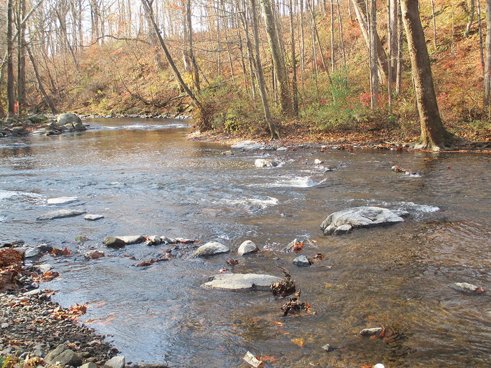
In a short while, the Riverwalk Trail reaches another fork. The trail ahead is also marked blue, but you should turn right, leaving the woods road, follow a footpath for 50 feet to the river, then turn left and proceed along the river, still following blue blazes. For the next half mile, the trail follows a footpath that closely parallels the scenic river, with attractive cascades.
After passing a huge sycamore tree, the trail reaches Point Mountain Road. If you have had enough hiking for the day, you can turn left and follow the road for 300 feet to the parking area. Otherwise, you can complete another relatively level mile-long loop. Cross the road and continue along the blue-blazed trail, which soon heads slightly inland, following a footpath through dense wild rose thickets.
The trail approaches the river once more, then bears left, away from the river, climbs a little, and begins to run through a deciduous forest. Soon, the trail bears sharply left and begins to head northeast, paralleling Musconetcong River Road, visible through the trees on the right. In half a mile, you’ll return to Point Mountain Road, with the parking area where the hike began directly across the road.
This hiking article is provided by Daniel Chazin of the New York-New Jersey Trail Conference. The Trail Conference is a volunteer organization that builds and maintains over 2,000 miles of hiking trails and publishes a library of hiking maps and books. The Trail Conference’s office is at 600 Ramapo Valley Road (Route 202), Mahwah; (201) 512-9348; www.nynjtc.org. Daniel Chazin can be reached at DChazin@aol.com.