This easy loop hike traverses the Jockey Hollow section of the Morristown National Historical Park, where the Continental Army, under the command of George Washington, encamped for the brutally cold winter of 1779-80. Little remains of the historic encampment, but today’s park offers an attractive network of easy-to-moderate hiking trails.
This hike combines two short trails that loop around Primrose Brook into a 2.6-mile hike. It should take about one and one-half hours to complete the hike, and you’ll cross the brook 15 times along the way (all but three crossings are on bridges). After the hike, you can visit the exhibits at the visitor center or tour the historic Wick House.
Although the hike is relatively level, there are several gradual ascents and descents. Dogs are permitted on leash. Most trail junctions in this park are marked by numbered signposts, which are referred to in the hike description. A trail map is available online at www.nps.gov/morr/planyourvisit/maps.htm
To get there, take I-80 West to Exit 43 and continue on I-287 South to Exit 33 (Harter Road). Keep left at the fork in the ramp, and turn left onto Harter Road. In 0.8 mile, turn left onto Route 202. Proceed south for 0.8 mile, and turn right onto the winding Bailey Hollow Road. At a T-intersection in 0.8 mile, turn left onto Jockey Hollow Road, which soon enters Morristown National Historical Park. Continue for 0.4 mile beyond a circular restroom building to the Trail Center parking area, on the right side of the road. The trailhead is about 35 miles from Teaneck, and it should take about 50 minutes to get there.
The first part of the hike follows the green-blazed Aqueduct Trail, a self-guided interpretive loop trail that highlights several features of the water supply system built in 1890 by the Morris Aqueduct Company to supply the Town of Morristown with a dependable supply of pure water. The company, which started its operations in 1799, was New Jersey’s first water company. In 1923, it was acquired by the municipality and the 1890 water supply system was abandoned. It was replaced by an expanded system based on the Clyde Potts Reservoir, located a few miles west in Mendham.
Before starting the hike, you should obtain a copy of a trail map and guide for the Aqueduct Trail from the kiosk at the parking area. Lettered posts along the trail correspond to the descriptions contained in the guide.
From signpost #35 at the southwestern end of the Trail Center parking area, proceed south on a gravel path, the route of the Yellow Trail. In 225 feet, after crossing a wooden bridge over Primrose Brook, you’ll reach signpost #34. Here, you should turn right onto the green-blazed Aqueduct Trail, following a woods road that parallels Primrose Brook. In 125 feet, at a sign “Aqueduct Trail to Stop B,” turn left onto the Orange Trail and follow it a short distance to a brick vault used to gather water for the 1890 aqueduct. After taking a look at this interesting feature, return to the junction with the Aqueduct Trail and turn left.
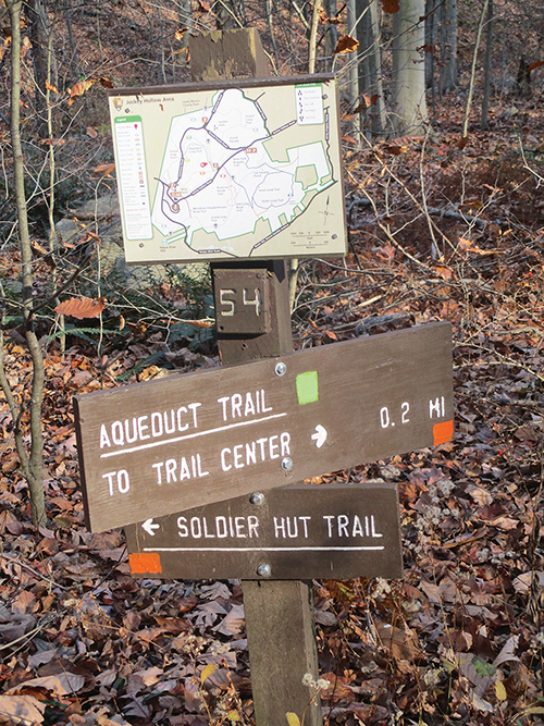
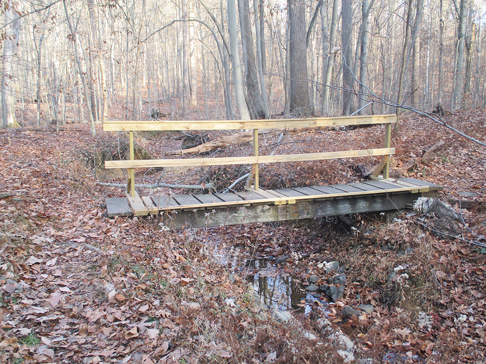
In a short distance, the Orange Trail leaves to the right at signpost #54. Continue ahead on the Aqueduct Trail, which reaches signpost #53 in another quarter mile. Follow the trail as it bears left and immediately crosses a collection ditch for the 1890 aqueduct (signpost “F”). It soon begins a gentle climb. At the crest of the rise, you’ll reach a complex junction, marked by signpost #50. Here, the Aqueduct Trail turns sharply right, descends log steps, crosses a wooden bridge over Primrose Brook, and turns right to follow a narrow path, with the brook on the right.
After passing a huge tulip tree on the left, the trail recrosses the brook on a wooden bridge.
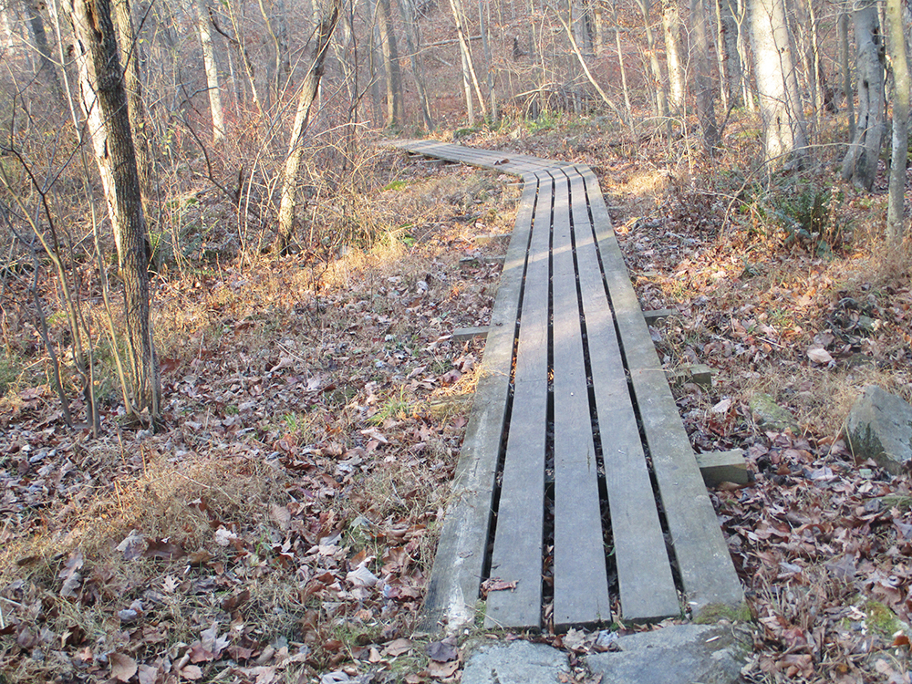
In the next 0.3 mile, the trail crosses the brook four more times and utilizes puncheons to cross several wet areas. Just before reaching signpost #53, the Aqueduct Trail turns left. After crossing the brook once more, the Aqueduct Trail turns right at signpost #37 (also signpost “P”) onto the route of the Patriots’ Path (blue path-and-tree logo on white) and the Orange Trail. Just beyond the next crossing of Primrose Brook on a wooden bridge, the Orange Trail leaves to the right, but you should turn left, continuing to follow the Aqueduct Trail/Patriots’ Path. The Aqueduct Trail/Patriots’ Path again crosses Primrose Brook and returns to the Trail Center parking area at signpost #36.
Turn right, passing signpost #35 and the kiosk, and continue along the Yellow Trail, briefly retracing your steps. After crossing the wooden bridge over Primrose Brook, turn left at signpost #34 and cross the paved road. Here, you’ll come to signpost #33, which marks the start of the red-blazed Primrose Brook Trail. Continue ahead on this trail, which runs along the southwest side of the brook, soon passing several tall red cedar trees. After crossing a footbridge over a tributary stream, the trail briefly runs directly along the brook. It bears right, crosses a wet area on a boardwalk, and climbs away from the brook. The trail continues along the side of a hill, overlooking the brook below.
About a third of a mile from Trail Center parking area, the Primrose Brook Trail reaches signpost #32. Here, a sign “Short Loop” indicates that those who desire a shorter hike should turn left onto a shortcut that leads back to the return route. Continue ahead along the Primrose Brook Trail (indicated by a sign “Long Loop”), which soon begins to descend as the terrain becomes less steep. The trail crosses a tributary stream, briefly parallels another stream, then turns off to the left.
A little more than half a mile from the parking area, the Primrose Brook Trail reaches signpost #31, where it crosses a wide woods road—the route of the white-blazed Grand Loop Trail and the Patriots’ Path (blazed with a blue path-and-tree logo on white). Continue ahead along the red-blazed trail, which descends to Primrose Brook, turns sharply left, and begins to follow the brook back to the starting point of the hike. The trail briefly runs close to the brook, bears left and crosses a tributary stream, then continues parallel to the main brook. Soon, it descends stone steps and crosses Primrose Brook on a wooden bridge. Just ahead, it again crosses the wide Grand Loop Trail/Patriots’ Path at signpost #30.
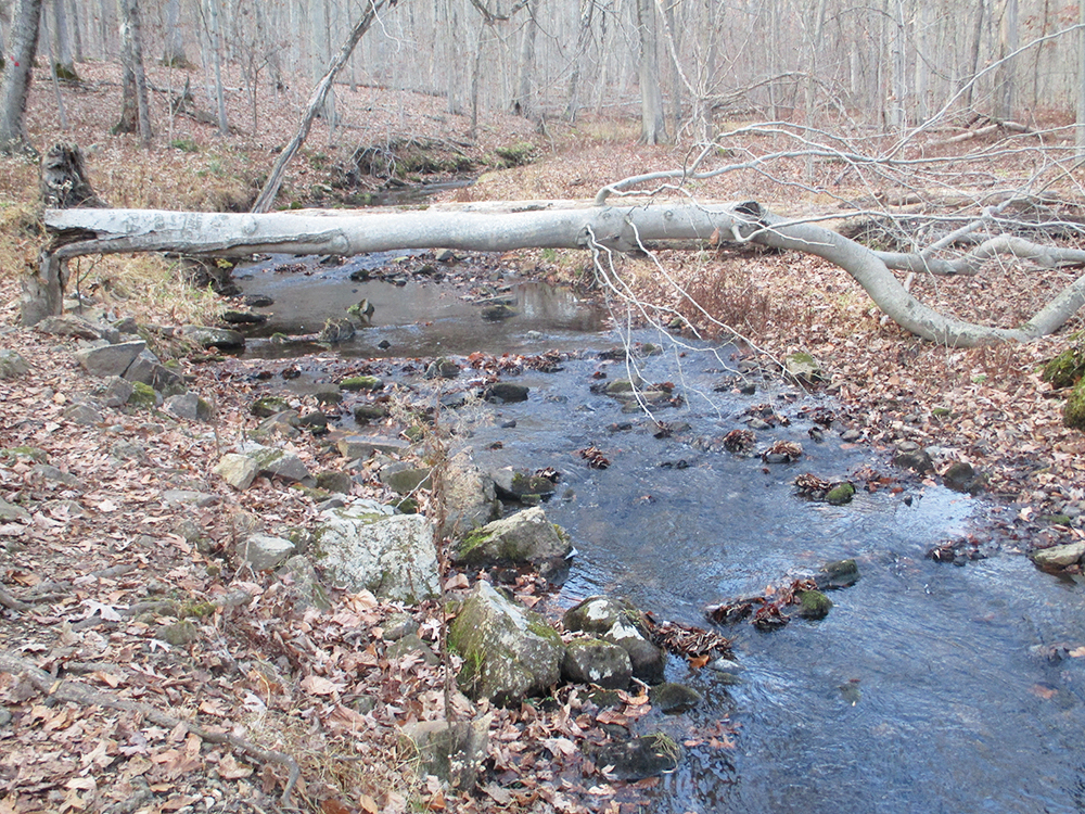
The Primrose Brook Trail now crosses and recrosses the brook on rocks. After crossing a wet area on a boardwalk, it once again crosses to the southwest side of the brook, where it meets the end of the “short-cut” trail at signpost #29. Just beyond, the trail crosses a tributary stream on a footbridge and then crosses the brook—for the fifteenth and final time on this hike—on another footbridge. The Primrose Brook Trail continues along the northeast side of the brook to end at signpost #28 on Jockey Hollow Road, opposite the Trail Center parking area.
This hiking article is provided by Daniel Chazin of the New York-New Jersey Trail Conference. The Trail Conference is a volunteer organization that builds and maintains over 2,000 miles of hiking trails and publishes a library of hiking maps and books. The Trail Conference’s office is at 600 Ramapo Valley Road (Route 202), Mahwah; (201) 512-9348; www.nynjtc.org. Daniel Chazin can be reached at DChazin@aol.com.