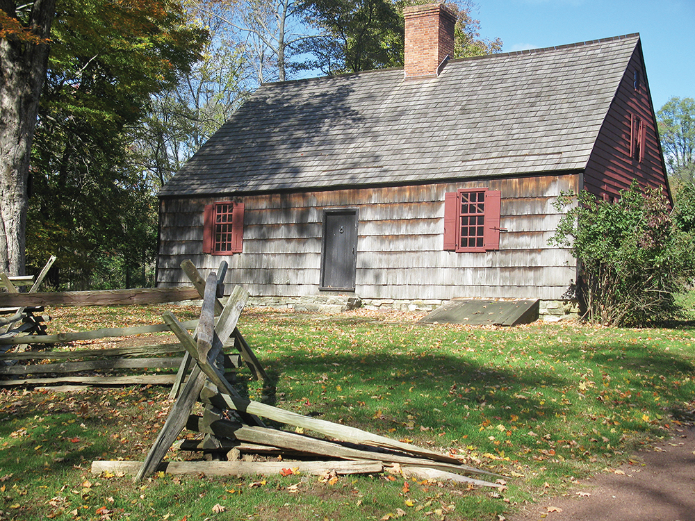
This easy loop hike traverses the Jockey Hollow section of the Morristown National Historical Park, where the Continental Army, under the command of George Washington, encamped for the brutally cold winter of 1779-80. Little remains of the historic encampment, but today’s park offers an attractive network of easy-to-moderate hiking trails.
This hike is about 3 miles long, and it includes a panoramic east-facing viewpoint. It should take about 90 minutes to complete the hike, but you may wish to spend additional time viewing the exhibits at the visitor center or touring the historic Wick House. Although the hike is relatively level, there are several gradual ascents and descents. Dogs are permitted on leash. Most trail junctions in this park are marked by numbered signposts, which are referred to in the hike description. A trail map is available online at www.nps.gov/morr/planyourvisit/maps.htm
To get there, take I-80 West to Exit 43 and continue on I-287 South to Exit 33 (Harter Road). Keep left at the fork in the ramp, and turn left onto Harter Road. In 0.8 mile, turn left onto Route 202. Proceed south for 2.2 miles, and right onto Tempe Wick Road at a traffic light. Continue along Tempe Wick Road for 1.4 miles to the park entrance on the right side of the road. You’ll pass the visitor center parking area on the left (you may wish to stop at the visitor center to view the exhibits), but proceed ahead onto the Tour Road. Bear left at the parking area for the Wick House (you may wish to stop here to tour the historic Wick House), and bear right at the parking area for the Soldiers’ Huts. When you reach a stop sign near a circular building, turn right and continue to the Trail Center parking area, on the right side of the road. The trailhead is about 40 miles from Teaneck, and it should take about 50 minutes to get there.

From the northern end of the Trail Center parking area, head north along the right edge of a grassy area. In 75 feet, you’ll see a Patriots’ Path blaze (dark blue river-and-tree logo), and in another 100 feet, you’ll reach Signpost #26.
Following a sign for the Camp Road Trail, cross the stream on a wooden footbridge, then immediately turn left onto a narrow dirt path that heads north. You’re now following the route of the Blue Trail, with the stream on your left and the paved road on your right. Soon, the Blue Trail bears right and climbs above the stream, continuing to parallel the road on the right.
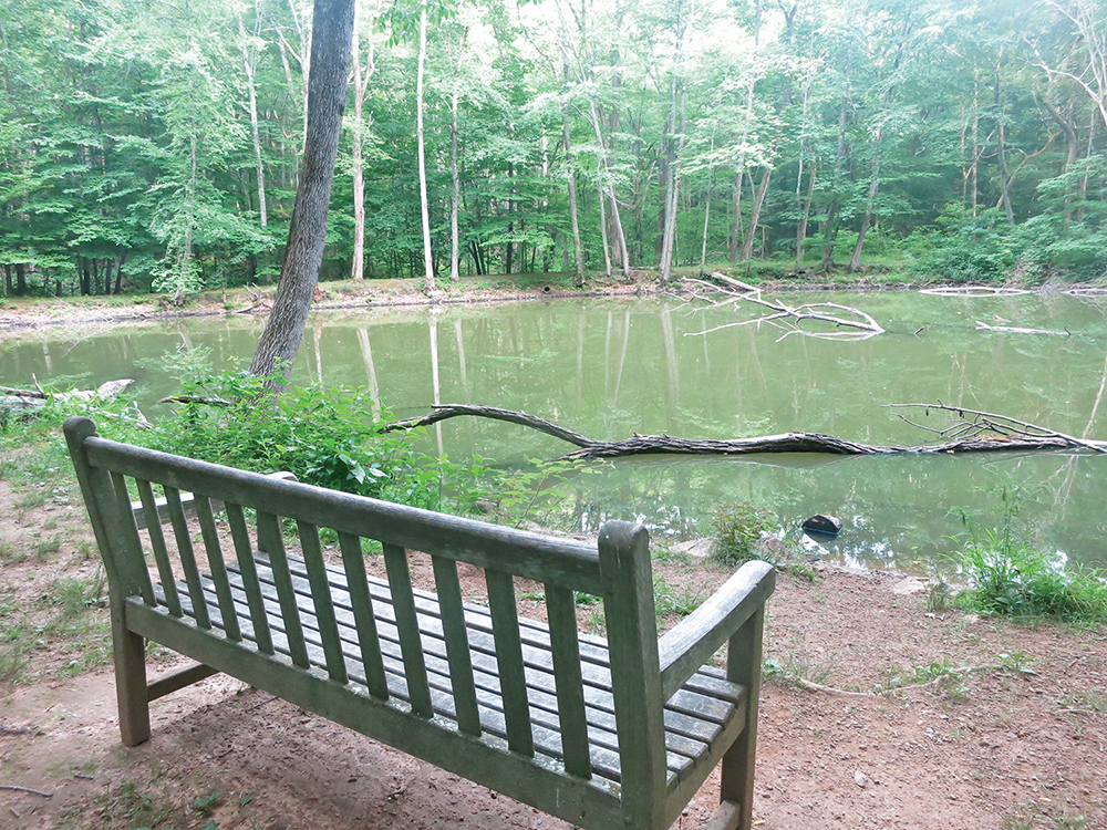
In about a third of a mile, you’ll reach Signpost #24. Turn left here and follow the paved road for about 200 feet, then turn right just before a circular restroom building. You’ll pass Signpost #23 and continue ahead on a woods road, designated the New York Brigade Trail. The Blue Trail descends gradually to reach Signpost #22, where it joins the white-blazed Grand Loop Trail, which comes in from the right. The joint white/blue trail follows a wide dirt road and passes the small Cat Swamp Pond on the right. A bench has been placed here, making it an attractive spot for a break.
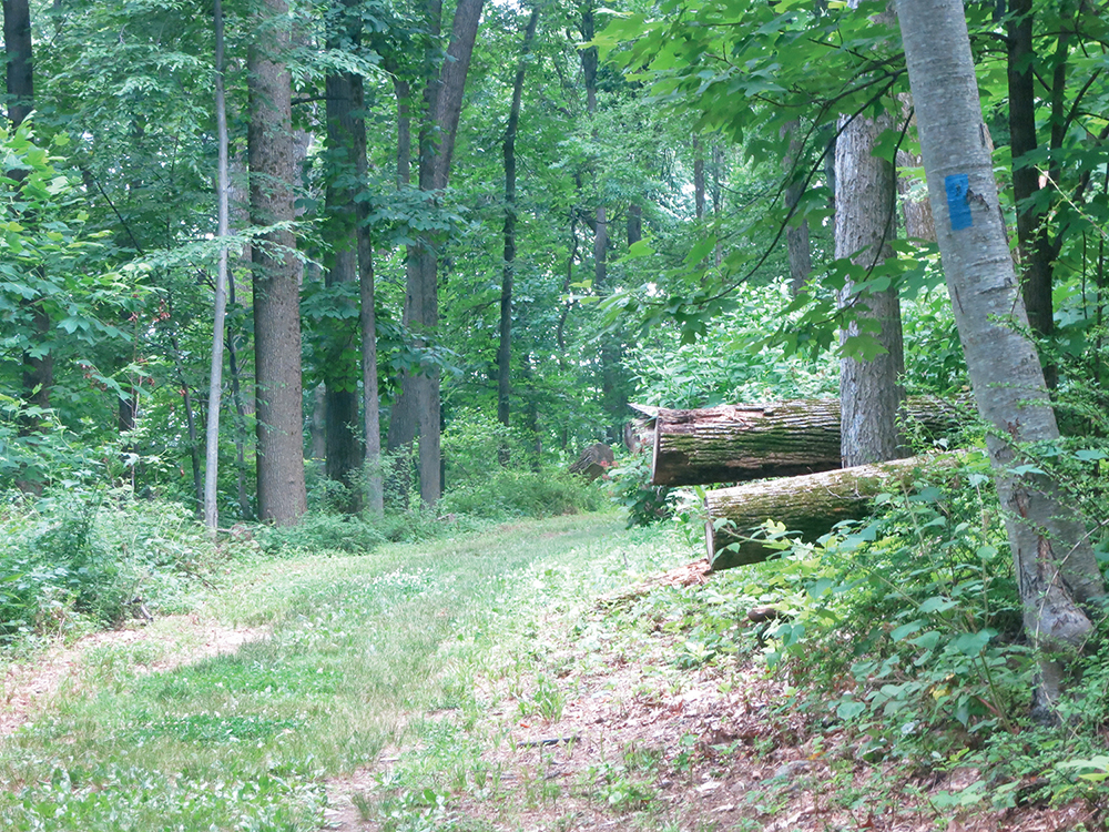
A short distance ahead, you’ll reach a T-intersection, marked by Signpost #10. Here, the white trail leaves to the left, but you should turn right, following the blue blazes. The Blue Trail crosses a culvert over a stream and begins a gradual ascent. It bears right at the next Y-intersection (Signpost #11) and continues to climb. Then, at Signpost #12, the Blue Trail bears left, joining the Mt. Kemble Loop Trail. (The unmarked section of the Mt. Kemble Loop Trail on the right, also referred to as the “Inner Loop,” rejoins the Blue Trail in 0.5 mile at signpost #17 and can be used to shorten the hike.) A short distance ahead, the trail passes a locked gate and reaches a T-intersection (Signpost #14).

The Blue Trail turns right, passing a private house on the left. (The road you are now following runs close to the park boundary.) Just ahead, follow the blue blazes carefully as the trail first bears left at a Y-intersection, then proceeds straight ahead at Signpost #15 (do not follow the road that descends to the left) and passes a locked gate.
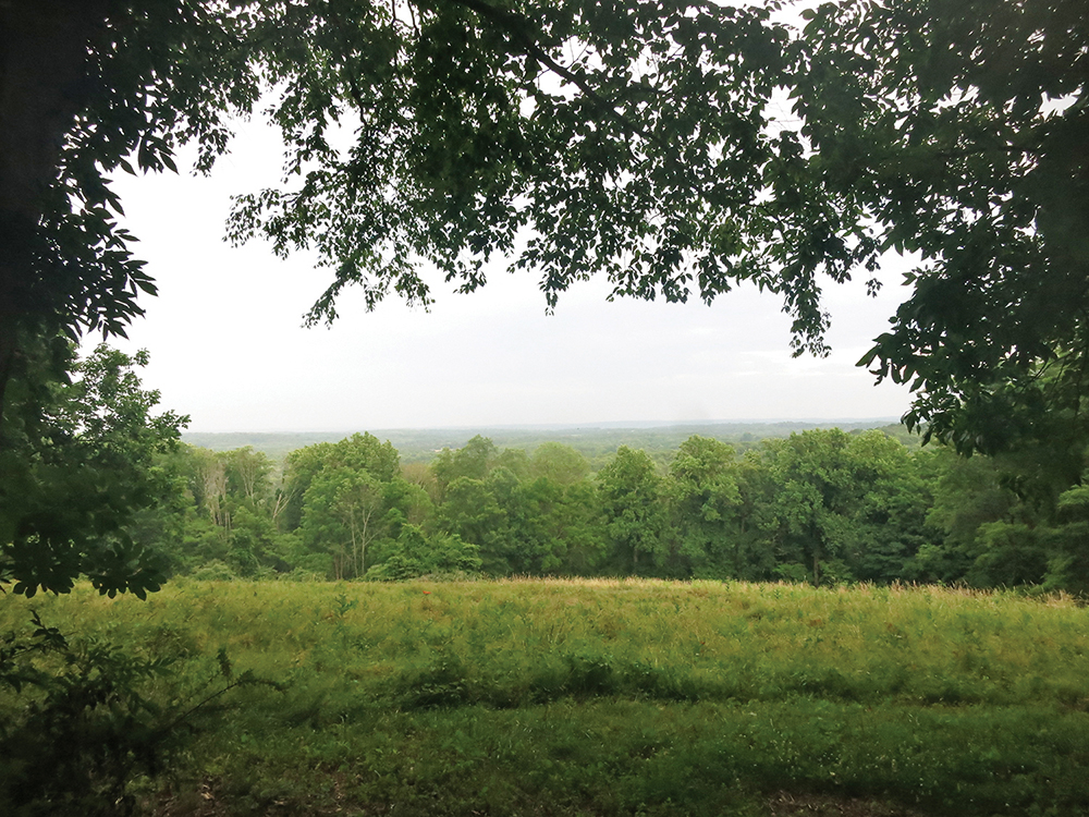
The trail continues along a wide grassy road. In a third of a mile, you’ll pass on the right a stone monument and an interpretive sign that commemorates Stark’s Brigade. Just beyond, you’ll reach an expansive east-facing viewpoint over the Watchung Mountains, accompanied by an interpretive sign and a bench, on the left. This is another good spot to take a break.
Soon, the Blue Trail begins to descend. Continue ahead at Signpost #16, where an unmarked path goes off to the left, but when you reach Signpost #17, turn sharply left, following the blue blazes and a sign for the Camp Road Trail. At the next intersection, marked by Signpost #19, turn sharply right, joining the Camp Road Trail, which descends steadily. Then, at the base of the descent, you’ll reach Signpost #20, where the white-blazed Grand Loop Trail and the Patriots’ Path (marked by a dark blue river-and-tree logo) join from the left.

The joint trails continue ahead, crossing a stream on a wide wooden bridge. Just beyond, the white trail leaves to the right at Signpost #21. Continue ahead, following the blue blazes and the Patriots’ Path logo blazes, until you reach a locked gate (Signpost #27) by the paved road. Turn left and follow the road a short distance back to your car.
This hiking article is provided by Daniel Chazin of the New York-New Jersey Trail Conference. The Trail Conference is a volunteer organization that builds and maintains over 2,000 miles of hiking trails and publishes a library of hiking maps and books. The Trail Conference’s office is at 600 Ramapo Valley Road (Route 202), Mahwah; (201) 512-9348; www.nynjtc.org. Daniel Chazin can be reached at [email protected].


