This 4.5-mile easy-to-moderate hike traverses the less developed northern section of the 3,500-acre Mahlon Dickerson Reservation, the largest park in the Morris County park system. It traverses the interesting and unusual Pine Swamp, parallels a cascading stream, climbs to the highest point in Morris County, and passes a number of interesting boulders. For the most part, it follows the white-blazed Pine Swamp Trail, but it also includes the loop of the Purple Trail. The hike should take about three hours and dogs are permitted on leash. A trail map of Mahlon Dickerson Reservation is available online at www.morrisparks.net/index.php/parks/mahlon-dickerson-reservation.
To reach the trailhead, take I-80 to Exit 34B (Route 15 North/Jefferson/Sparta). Proceed north on Route 15 for about five miles, and take the exit for Weldon Road (Milton/Oak Ridge). In 1.3 miles, you’ll pass a sign indicating that you have entered Mahlon Dickerson Reservation. In another 1.5 miles, you’ll pass the entrance to Saffin Pond on the right. Continue for one mile beyond Saffin Pond, passing an entrance to a camping area on the left. Just beyond, you’ll pass another entrance on the right. Turn left at the following park entrance — this one, an entrance to a picnic area on the left — and continue ahead to the parking area. (The entrance to the picnic area is 4.0 miles along Weldon Road from Route 15.) The trailhead is about 45 miles from Teaneck and it should take about 50 minutes to get there.

From the north end of the parking area, follow a paved service road marked with the teal diamond blazes of the Highlands Trail, passing through a picnic area. When the paving ends, proceed ahead on a gravel road, continuing to follow the teal blazes.
In about 1,000 feet, you’ll reach a T-intersection with a sign which marks the start of the loop of the Pine Swamp Trail. Turn right and head downhill on a gravel road, now following both white and teal blazes. After crossing a brook, bear left at a fork and climb gradually.
At the top of the climb, you’ll reach a Y-intersection with a bench and a kiosk. Turn right, leaving the road, and follow the Purple Trail into the woods on a footpath. As of this writing, the Purple Trail is very sparsely blazed, but the footpath is clear and obvious. After traversing a level area, the trail descends gradually and curves to the left, joining a woods road that comes in from the right. In a short distance, you’ll reach a limited viewpoint (partially obscured by vegetation) over the Jefferson high school and middle school below and the hills beyond.

The Purple Trail continues to descend. At the base of the descent, the trail reaches a cascading brook and turns left to parallel it, heading upstream. The trail bears left, away from the brook, descends to the brook in an area where the brook widens into several branches, then again bears left and climbs away from the brook.
The Purple Trail ends at a wide woods road — the route of the white-blazed Pine Swamp Trail. Turn right and follow the trail downhill to cross a brook (the same brook that the Purple Trail parallels) on a wooden footbridge. The trail now climbs gently and bears left at a fork, continuing through dense thickets of mountain laurel. Soon, it bears right and continues on a footpath which approaches Sparta Mountain Road, just to the right.
At the next intersection, the trail turns left onto a woods road. Then, at the following intersection, the Red Trail proceeds ahead on the woods road, but you should turn right to continue on the joint Pine Swamp/Highlands Trail.
The joint Pine Swamp/Highlands Trail crosses a stream on a boardwalk and again approaches Sparta Mountain Road. Here, the Highlands Trail turns right, but you should turn left to continue on the white-blazed Pine Swamp Trail, which climbs a little, levels off, and gradually descends.

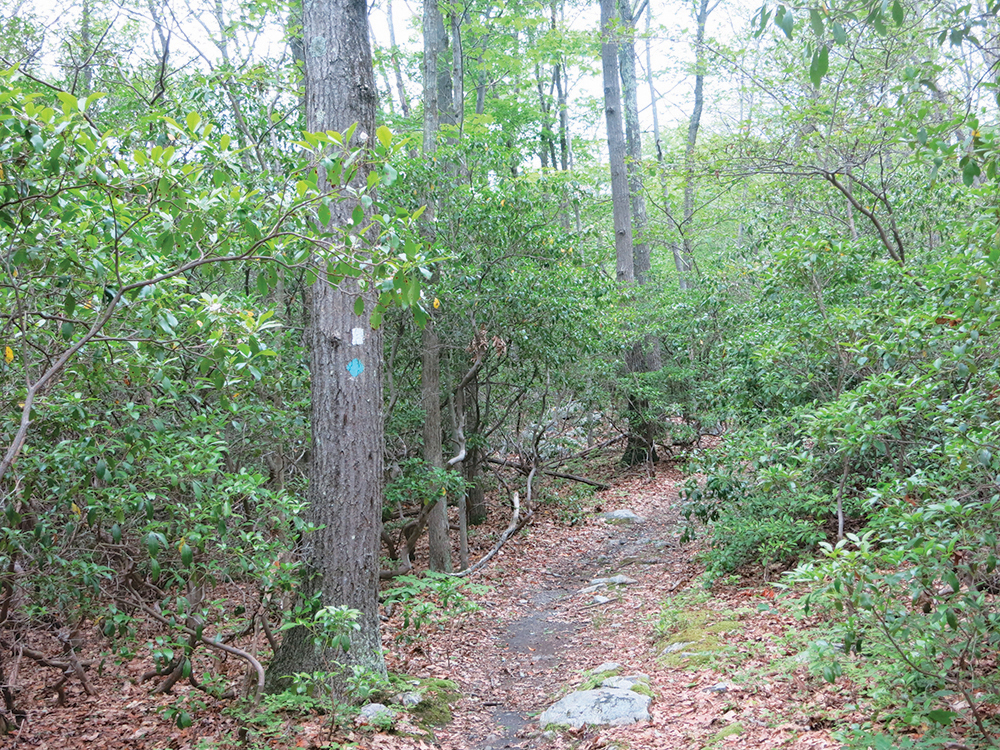
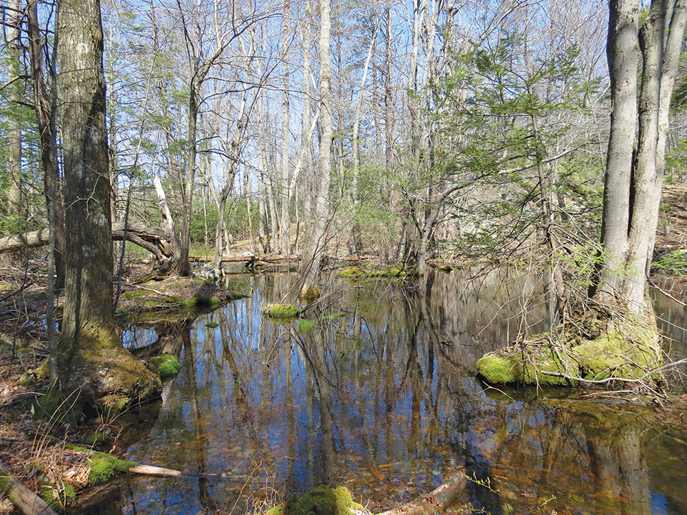
After bearing right at a junction with the western end of the Red Trail, you’ll begin to notice hemlock and mountain laurel along the trail. You’re now entering the Pine Swamp, after which the trail is named. Characterized by spruce, hemlock, rhododendron and mountain laurel, this swamp is remote and gives a feeling of deep wilderness. For the next half mile, the trail follows a woods road through this interesting swamp.
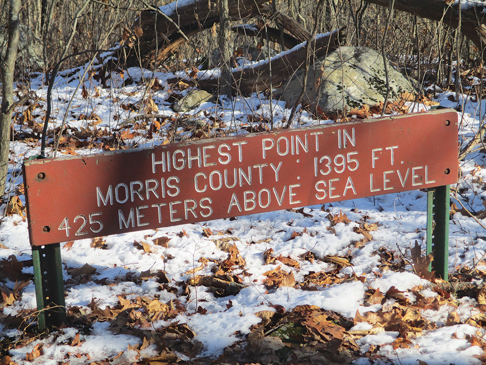
After crossing another stream, the trail climbs slightly to reach a junction. The Orange Trail begins on the right, but you should bear left to continue along the white-blazed trail. Still on a wide woods road, the trail now climbs gradually to the highest point in Morris County (1,395 feet), marked by a bench and a sign placed by the Morris County Park Commission. The actual high point is a short distance to the right of the trail.
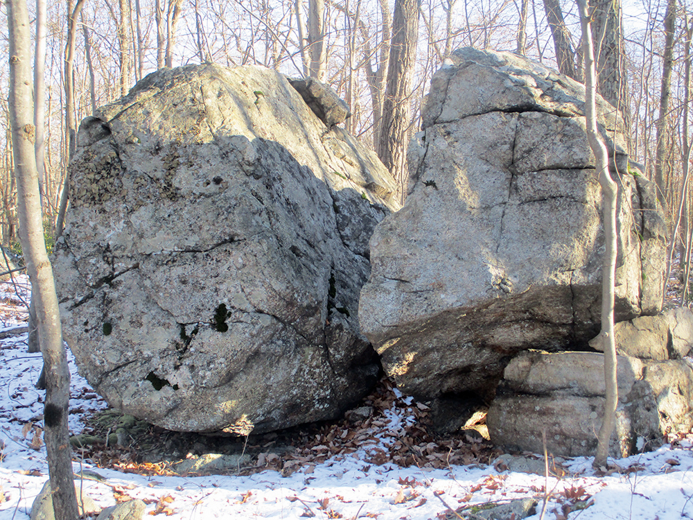
The trail now begins a steady but gentle descent. Just ahead, it reaches a fork where a black-dot-on-blue-blazed trail begins on the right, but you should bear left to continue on the white-blazed Pine Swamp Trail. In another half mile, after a slight climb, you’ll reach a junction. Turn left here, then left again in another 75 feet (where a blue-blazed trail on the right leads to the trailer area). The second turn once marked the beginning of the green-blazed Boulder Trail, named for the interesting large boulders which can be seen on both sides of the trail. The green blazes have been obliterated (you should continue to follow the white blazes), but the boulders remain.

In another half mile, three pink blazes mark the start of the Pink Trail, which proceeds ahead on the woods road, but you should turn right onto a footpath, continuing to follow the white blazes. When the footpath ends, the trail turns right onto a woods road, then in 100 feet turns left onto another road (following the sign to the “picnic area”). At the next T-intersection, you turn left again and soon reach the start of the loop of the Pine Swamp Trail (marked by a sign). Turn right (again following the sign to the “picnic area”), and follow the road back to the parking area where the hike began.
This hiking article is provided by Daniel Chazin of the New York-New Jersey Trail Conference. The Trail Conference is a volunteer organization that builds and maintains over 2,000 miles of hiking trails and publishes a library of hiking maps and books. The Trail Conference’s office is at 600 Ramapo Valley Rd. (Route 202), Mahwah; (201) 512-9348; www.nynjtc.org. Daniel Chazin can be reached at dchazin@aol.com.


