
If you’re looking for a short hike in Harriman State Park that leads to a great view, this hike, in the northern end of the park, is a good choice. It’s just over two miles long, but you’ll be climbing a vertical distance of about 300 feet to a panoramic view over Bear Mountain and Turkey Hill Lake. The hike should take about an hour and a half, and dogs are permitted on leash.
To get there from Bergen County, take the Palisades Interstate Parkway north to Exit 18 (US 6 West, Central Valley), which is a left exit. Bear left onto the exit ramp and, almost immediately, you’ll reach a traffic circle. Take the second exit at the circle (US 6 West) and continue for 1.1 miles. Turn right at a small sign for the Long Path, and follow the side road for 0.3 mile to a kiosk on the right. Park along the shoulder of the road near the kiosk. (On Google Maps, the location is identified as “Turkey Hill Parking.”) The trailhead is about 40 miles from Teaneck, and it should take about 40 minutes to get there.

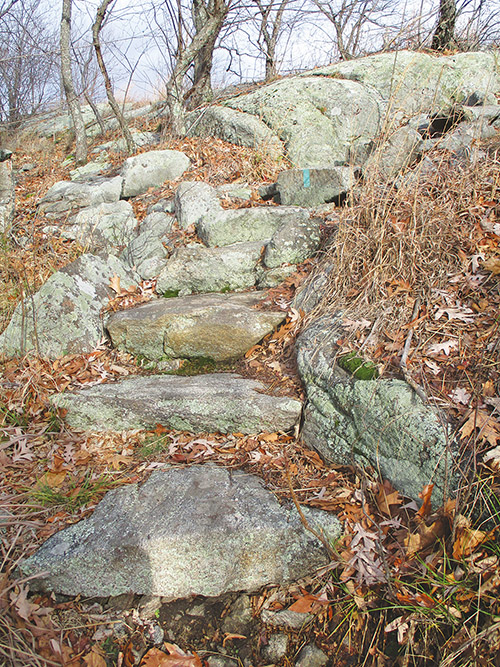
From the kiosk, follow the aqua-blazed Long Path, which heads north into the woods. In a third of a mile, after a short descent, you’ll reach a junction. Here, the red-square-on-white Popolopen Gorge Trail begins on the right, but you should bear left to continue on the Long Path, which begins a gradual climb. Along the way, a trail with brown blazes begins on the right, but you should continue ahead on the aqua-blazed Long Path. This section of the trail was constructed by the Long Distance Trails Crew of the Trail Conference in 2016. Soon, the Long Path curves to the right and continues to climb on switchbacks.
At the crest of the ridge, the trail turns left and follows along the bedrock atop the ridge, soon reaching the 1,155-foot summit. Here, chiseled into the rock, is a memorial to Raymond H. Torrey, who served as president of the New York-New Jersey Trail Conference from 1931 until his death in 1938. It was Torrey who scouted this trail section in 1922. The summit affords a panoramic east-facing view, with Turkey Hill Lake below and Bear Mountain (with the Perkins Memorial Tower on its summit) beyond.
After taking in the magnificent view, continue ahead on the Long Path. From the northern end of the summit ridge, there is a broad view to the northeast over the hills in the West Point Military Reservation, with the rocky Popolopen Torne visible on the right (north of Bear Mountain). The Long Path continues ahead for another 500 feet, then bears left and descends steadily on switchbacks. This section of the trail is rocky and can be slippery if the rocks are wet or covered with leaves, so caution should be exercised.

At the base of the descent—just before the crossing of Deep Hollow Brook—turn left onto an unmarked woods road. This road, known as the Deep Hollow Road, was constructed by the Civilian Conservation Corps in 1934. The CCC workers laid a base of broken stone, but never completed the road by overlaying it with a layer of gravel. Head south on Deep Hollow Road, which briefly parallels the brook, then begins a gradual climb.
In half a mile, you’ll reach the junction of the Long Path with the Popolopen Gorge Trail at the base of Long Mountain. Turn right and retrace your steps along the Long Path to the parking area where the hike began.
This hiking article is provided by Daniel Chazin of the New York-New Jersey Trail Conference. The Trail Conference is a volunteer organization that builds and maintains over 2,000 miles of hiking trails and publishes a library of hiking maps and books. The Trail Conference’s office is at 600 Ramapo Valley Road (Route 202), Mahwah; (201) 512-9348; www.nynjtc.org. Daniel Chazin can be reached at
DChazin@aol.com.


