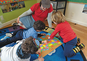
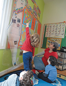
The nursery class of The Preschool at Chabad of Fort Lee is beginning to explore the use of maps. The students identified various colors and markings on the first map they examined and were taught their representation. They were then able to locate the largest and smallest states on a map of America and instances where land touches water.
In preparation for Israel Day on April 23rd, the map studies were combined with an exploration of Israel’s cartography. On various permutations of the country map, students noticed the brown and green sections as well as icons and pictures where major Israeli cities are located. The children were immediately able to recognize Jerusalem by noticing the picture of the Kotel. Some children named the graphic ‘the Beit HaMikdash’ because of the association of that location with the story of Chanukah. In this manner the students were applying their knowledge from other areas of study to the task at hand. The nursery children were taught that on a map of icons a paintbrush and palette indicated that Tzfat is an artistic city and that the beach and water represented Eilat. Chabad of Fort Lee’s nursery children have become keen examiners of maps.
By Judi Dimbert