If you’re looking for an easy hike close to home, this 2.4-mile hike that loops around the Closter Nature Center is for you. The hike is nearly level, and although you’ll cross a number of streams, there are sturdy bridges at all stream crossings. Much of the hike is on puncheons (wooden boardwalks), as many of the trails traverse wet areas. Along the hike, you’ll pass several deer exclosures (black plastic fencing), designed to prevent deer from munching on the vegetation. The nature center states that it is “pet-friendly,” so dogs are permitted on leash. The hike should take about 1.5 hours.
To get there from Teaneck, follow Teaneck Road north to Ward Plaza. Turn right onto Ward Plaza, then turn left onto Liberty Road and immediately turn right onto Ivy Lane. In 0.7 miles, turn left onto Knickerbocker Road and continue for 4.0 miles to Durie Avenue, where you turn right. At the end of Durie Avenue, turn right onto Old Closter Dock Road. Make the first left onto Oakland Avenue, which becomes Ruckman Road, and continue for 0.5 miles to the parking area for the Closter Nature Center on the right. The trailhead is only about eight miles from Teaneck, but since you’re traveling on local streets, it should take about 20 minutes to get there. GPS address: 154 Ruckman Rd., Closter, NJ 07624.
To begin the hike, walk back to Ruckman Road, turn right and follow along the road (heading east) for about 600 feet. Just beyond the driveway to 190 Ruckman Rd., you’ll notice a triple red-on-white blaze on a large tree on the north side of the road, adjacent to a sign for the Closter Nature Center. Enter the woods, following the Red Trail, which passes through an area with a dense growth of skunk cabbage on both sides of the trail.
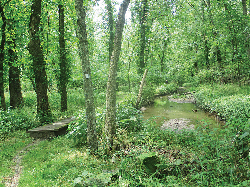
After crossing a stream on a short wooden bridge, turn right onto the Green Trail, which soon crosses Willow Brook on a wooden bridge with a handrail. The trail immediately turns sharply left and parallels the brook, following a raised berm.
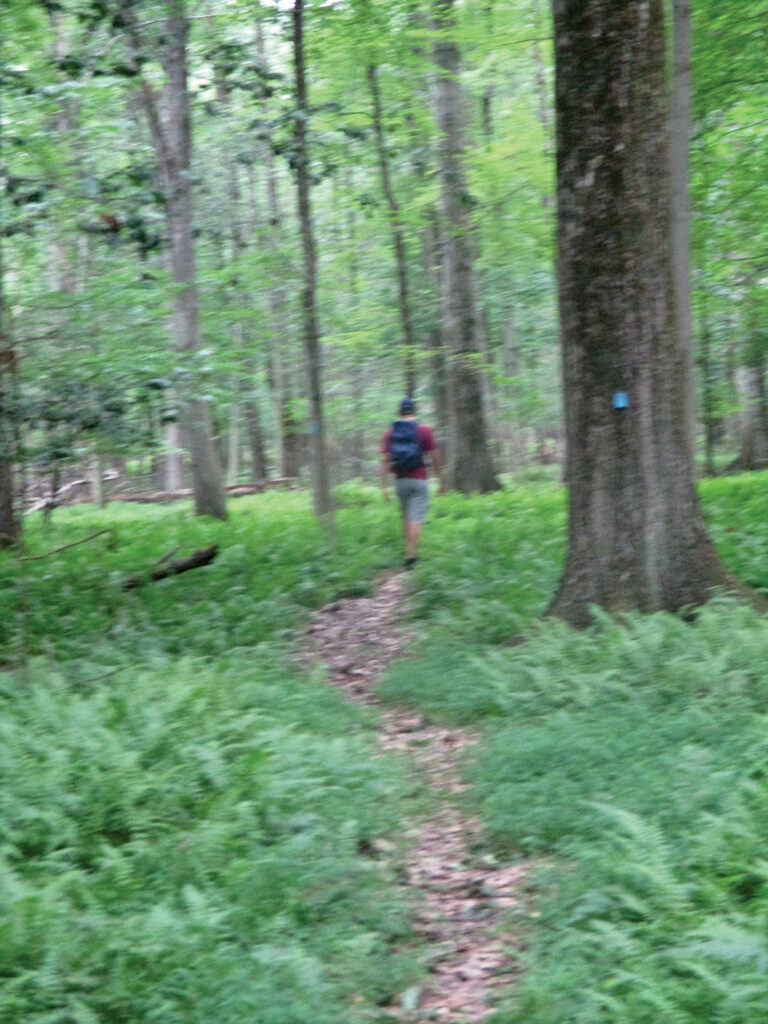
Soon, you’ll reach a T-intersection with the Blue Trail. The trail to the left will be your return route, but for now, turn right onto the Blue Trail, which proceeds through an area with an understory of ferns. A short distance beyond, you’ll reach a fork which marks the start of the loop of the Blue Trail. Bear right to follow the loop in the counterclockwise direction. Then, in another 500 feet, a trail blazed with a black arrow on a white diamond begins on the right, but bear left and continue to follow the Blue Trail. At the next junction, be sure to turn left at a double blue blaze (do not continue ahead, as a diamond-shaped blue blaze would indicate).
With an unpaved road visible just ahead, turn left to continue on the Blue Trail, then again turn left at a double blue blaze. The trail continues on puncheons through an area with abundant skunk cabbage.
After crossing a bridge over a brook, you’ll reach a junction where the Yellow Trail begins on the right. You should turn left to continue on the Blue Trail, which soon recrosses the brook on another wooden bridge and continues along a winding footpath. After passing a deer exclosure on the right, you’ll reach the end of the loop. Turn right (following the blaze pointing to “CNC”), briefly retracing your steps along the Blue Trail.
Soon, you’ll come to the end of the Green Trail on the left. Continue ahead on the Blue Trail,
recrossing Willow Brook on a wooden bridge. The Red Trail begins on the left, but you should continue on the Blue Trail. Just ahead, the Blue Trail turns right and crosses Smith Brook on a wooden bridge, but you should continue ahead (do not cross the bridge). You’re now following the White Trail, which heads south, parallel to Smith Brook (on the right).
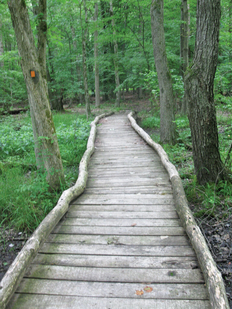
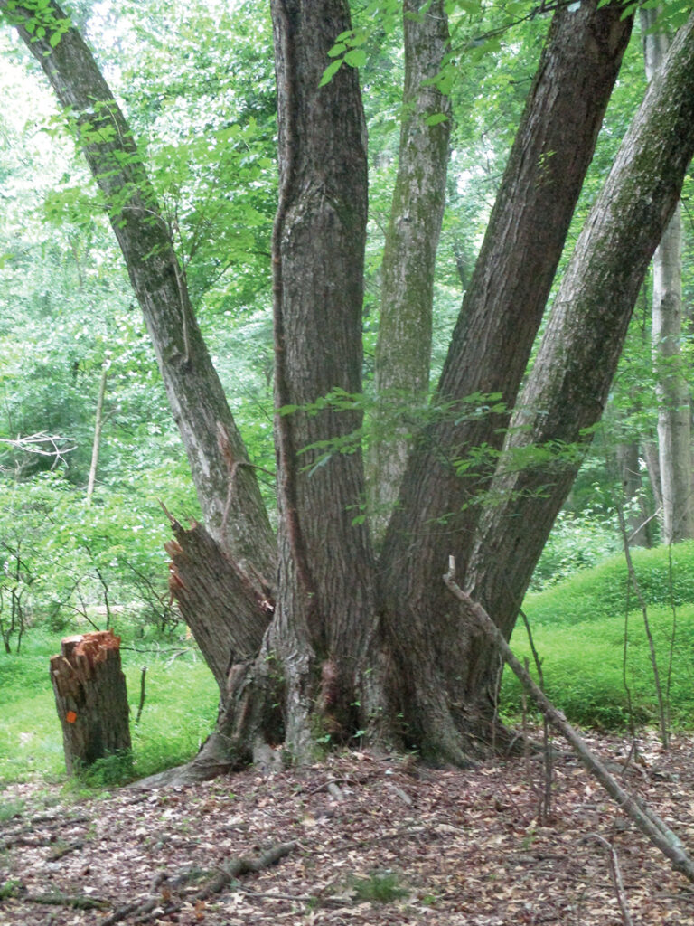
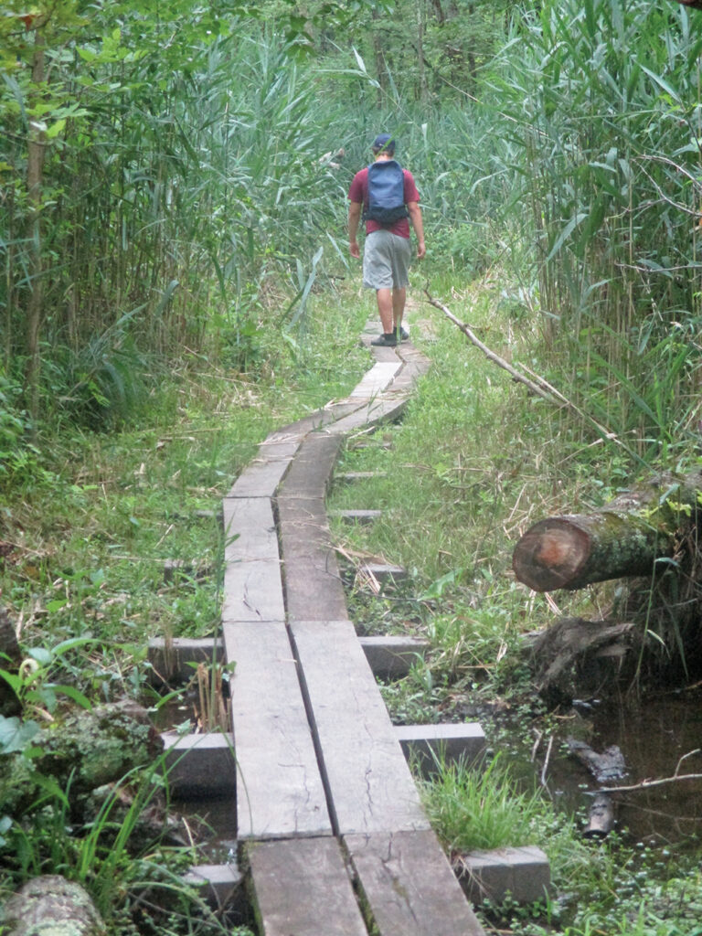
Just before reaching Ruckman Road, turn right onto the Orange Trail, which crosses Smith Brook on a wooden bridge with handrails, then bears right and heads north. It follows puncheons through tall grass, then bears left and crosses a long wooden footbridge, with rustic logs along its sides. The Orange Trail now enters an area with no understory and many large beech trees. Soon, you’ll notice a huge fallen tree on the right, with its massive root system facing the trail. The loop of the Orange Trail begins here, and you should continue ahead to follow the loop in the counterclockwise direction. Toward the western end of the loop, you’ll notice several interesting trees with four or five trunks. The Orange Trail now bears left, passing the parking lot of a nearby building on the right, then bears left again and heads east.
When you reach the end of the loop, turn right, retracing your steps along the Orange Trail and recrossing the long bridge. At the end of the bridge, turn right and continue to follow the Orange Trail as it proceeds through the tall grass, recrosses Smith Brook and ends at a T-intersection with the White Trail. Turn right, follow the White Trail a short distance to Ruckman Road, then turn left, follow along the road for 150 feet, and cross the road to reach the parking area where the hike began.
This hiking article is provided by Daniel Chazin of the New York-New Jersey Trail Conference. The Trail Conference is a volunteer organization that builds and maintains over 2,000 miles of hiking trails and publishes a library of hiking maps and books. The Trail Conference’s office is at 600 Ramapo Valley Rd., (Route 202), Mahwah; (201) 512-9348; www.nynjtc.org. Daniel Chazin can be reached at dchazin@aol.com.