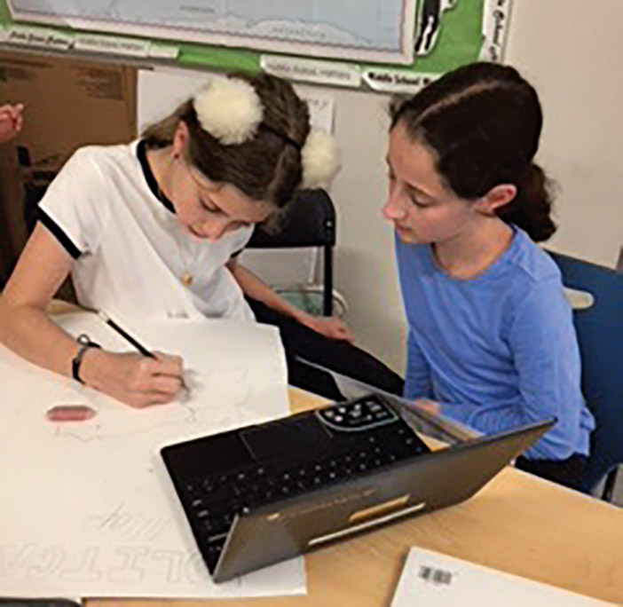


Middle schoolers at Yeshivat He’Atid have been hard at work developing their cartography skills. As part of their Atlas Project, students learned about different ways with which to depict a region visually. Using these skills, they have been working together to develop atlases for different countries. Each group is creating a political, topographic and physical map, as well as a fourth map of their choice. Keep up the good work!
Leave a Comment


