This rugged 2.2-mile hike follows the Will Monroe Loop around Assiniwikam Mountain in Norvin Green State Forest in West Milford (Passaic County), with a broad east-facing view over the Wanaque Reservoir and Wyanokie High Point. The distance is rather short, and the elevation gain is only about 400 feet. However, the hike is rated moderate, as there are a number of climbs of rock ledges, some of which require the use of both hands and feet. The hike should take between 90 minutes-2 hours, and dogs are permitted on leash.
To reach the trailhead, take N.J. Route 4 West to Route 208 North, and follow Route 208 to its end. Continue ahead on I-287 South, and take Exit 57 (Skyline Drive). Bear right at the fork and take Skyline Drive to its northwestern end at Greenwood Lake Turnpike (County Route 511). Turn left and proceed south for 1.6 miles to West Brook Road. Turn right onto West Brook Road and cross the Wanaque Reservoir on a causeway. Turn left at the next fork. In 0.5 mile, you will reach an intersection with Snake Den Road, which begins on the left. Do not turn left here.
Continue for another 2.4 miles, and turn left at the second intersection with Snake Den Road, immediately crossing a bridge over a stream. Continue uphill for 0.8 mile to Camp Wyanokie, marked by several lean-tos along the road, with Boy Scout Lake on the left. Park along a driveway between Snake Den Road and Boy Scout Lake (do not block the driveway) or in a designated parking area for Camp Wyanokie on the right side of the road, a short distance beyond. GPS address: 550 Snake Den Road, West Milford, New Jersey 07480. The trailhead is about 30 miles from Teaneck, and It should take about 40 minutes to get there.
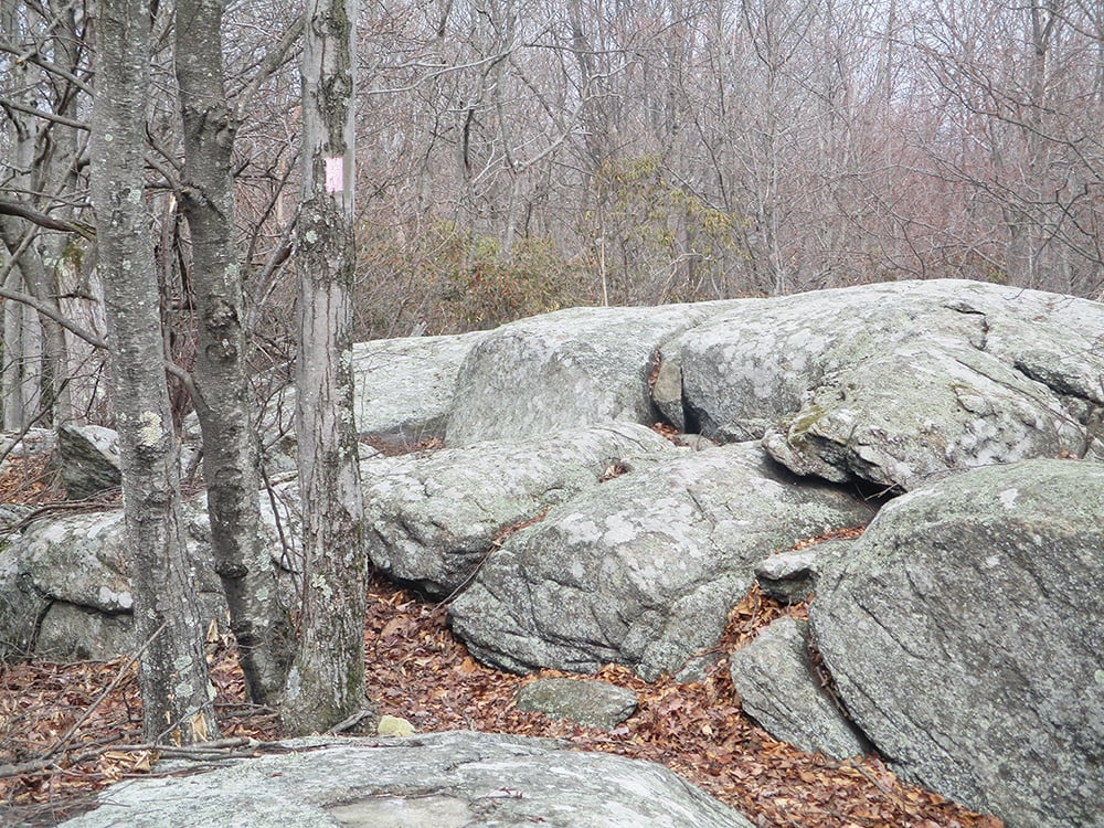
To begin the hike, continue ahead on Snake Den Road, following the red-on-white blazes of the Wyanokie Circular Trail, which continues through a residential area. At the end of the residential area, follow the red-and-white blazes as they bear left, leaving the road, and continue on a footpath through mountain laurel thickets, passing rock outcrops on the left. Soon, the trail crosses a stream and begins to climb. In a short distance, you may notice a triple-pink blaze on a tree to the left. This will be your return route, but for now, proceed ahead on the Wyanokie Circular Trail, which levels off, then bears left and continues to climb.
Near the top, the trail passes rock ledges on the left. About 100 feet beyond the ledges, you’ll
come to a trail junction. On the right, a triple-yellow blaze marks the start of the Wyanokie Crest Trail; on the left, a triple-pink blaze marks the start of the Will Monroe Loop. This mile-long trail, blazed by Trail Conference volunteers in 2003-04, is named for Professor Will S. Monroe of the Montclair State Normal School (now Montclair State University), who laid out most of the trails in the Wyanokies in the 1920s.
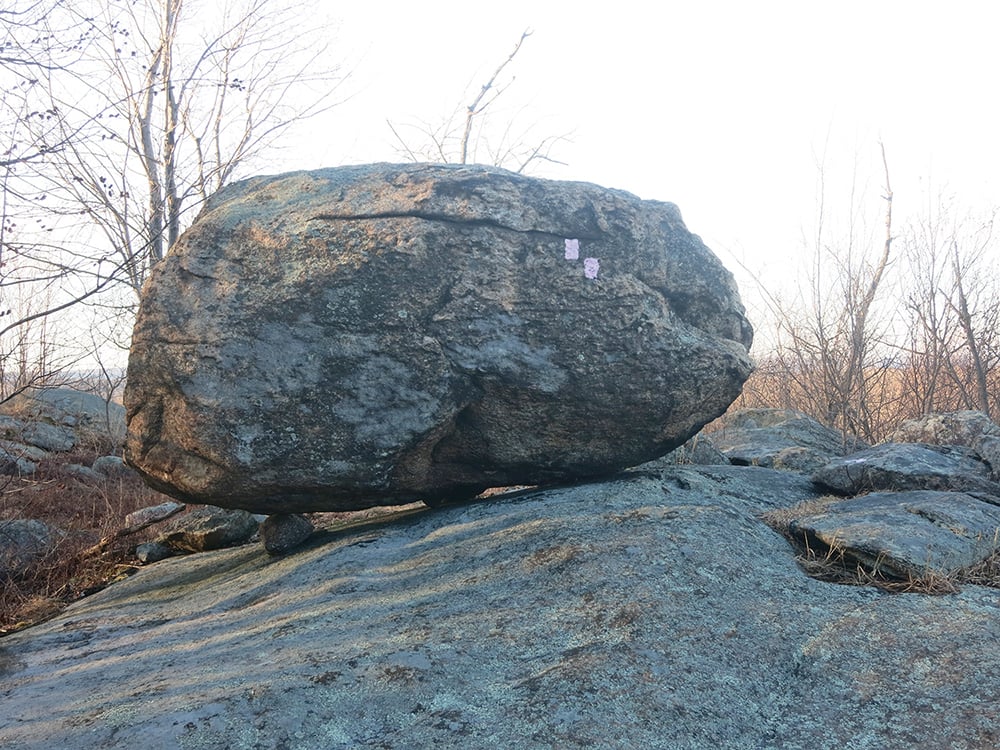
Turn left and begin to follow the pink blazes. After a short climb to the crest of a rise, the trail levels off. At a large rock outcrop, the trail turns right, descends into a shallow valley, then climbs to an open rock ledge that offers very limited views through the trees to the west and north. Here, the trail bears right and continues along the ledges, crossing the summit of Assiniwikam Mountain (1,210 feet) along the way. Although this part of the hike is not particularly difficult, you’ll need to use your hands in a few places. Soon, you’ll come to an open rock ledge with a balanced rock that offers a limited south-facing view through the trees. Here, the trail turns left and leaves the ledges.
In a short distance, the trail turns left again and begins to head north. In just 25 feet, you’ll notice a distinct but unmarked side trail on the right that proceeds through a cleft in the rock and heads to a rock ledge. Turn right and follow this trail for about 150 feet to a broad east-facing viewpoint from the rock ledge. The Wanaque Reservoir is visible to the east, with Wyanokie High Point to its right, and Windbeam, Bear, Board and Horse Pond mountains may be seen to the northeast. On a clear day, the New York City skyline is visible in the distance to the southeast.
After taking in the view, return to the marked trail and turn right. The trail continues to climb over rock ledges, then reenters the woods and descends slightly. Soon, the trail reaches another ledge, with an interesting balanced boulder, that offers a limited east-facing view through the trees.
A short distance beyond, the trail leaves the rock ledges and begins to descend through the woods. Along the way, it passes huge boulders on the left. Of particular interest is a massive fractured boulder with a large tree growing out of a crack in the rock. The Will Monroe Loop continues to descend, rather steeply in places, until it ends at an intersection with the red-on-white blazed Wyanokie Circular Trail. Turn right and follow the Wyanokie Circular Trail for half a mile, retracing your steps to Camp Wyanokie, where the hike began.
This hiking article is provided by Daniel Chazin of the New York-New Jersey Trail Conference. The Trail Conference is a volunteer organization that builds and maintains over 2,000 miles of hiking trails and publishes a library of hiking maps and books. The Trail Conference’s office is at 600 Ramapo Valley Road (Route 202), Mahwah; (201) 512-9348; www.nynjtc.org. Daniel Chazin can be reached at [email protected].