This 6.2-mile moderate loop hike traverses the northern section of Clarence Fahnestock Memorial State Park in Putnam County, New York. At the start, it skirts several open fields, some of which are still used by the Glynwood Center for Regional Food and Farming to grow crops. It continues by following an attractive stream and then passing by three scenic ponds. The hike should take about four hours and dogs are permitted on leash.
To get there from Bergen County, take the Palisades Interstate Parkway north to its terminus at the Bear Mountain Bridge. Cross the bridge and, at the east end of the bridge, turn left and proceed north on N.Y. Route 9D for about 8.5 miles to a junction with N.Y. Route 301 in Cold Spring. Turn right and follow Route 301 for about five miles to Dennytown Road. Continue for another 0.3 mile on Route 301 (passing a “Welcome to Clarence Fahnestock Memorial State Park” sign on the right) and turn left at a sign for the Big Woods Trailhead. Follow the entrance road for half a mile and park in the parking area on the left. The trailhead is about 55 miles from Teaneck and it should take about 70 minutes to get there.
From Westchester County, take the Taconic State Parkway north to Exit 31A and proceed west on N.Y. 301 for 3.3 miles to a sign on the right for the Big Woods Trailhead. Turn right, follow the entrance road for half a mile, and park in the parking area on the left.
To begin the hike, walk ahead for a short distance on the road. When you reach a T-intersection with a stop sign, you’ll notice, across the road just to the left, a wooden post with a yellow blaze. This marks the route of the Perkins Trail, which you will follow for the first part of the hike. Proceed ahead on a gravel road between a wire fence on the right and a wooden fence on the left, with a field on the right and views to the right over the ridge to the north.
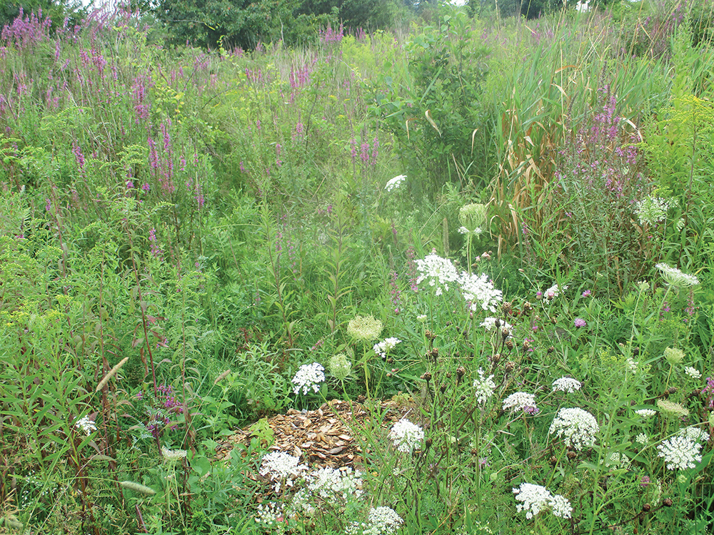
Soon, the trail turns right and follows along another side of the field. Just ahead, views appear over a large lake below. After descending for a short distance, follow the yellow blazes as they bear left on a farm road that crosses a field with many wildflowers. Continue along the farm road as it passes several smaller fields. Soon, the trail bears right, skirting the perimeter of a field, then continues straight ahead on a footpath, reentering the woods at a gap in a stone wall. As you proceed along the fields, be careful to follow the yellow blazes, which are attached to trees and posts along the trail.
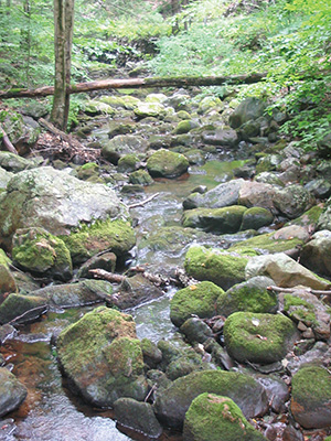
After reaching a limited viewpoint to the north and west from a rock outcrop, the trail bears left and begins a steady descent through mountain laurel thickets. Soon you’ll hear the sounds of traffic as the trail comes close to Route 301. Near the base of the descent, the trail swings sharply to the right, heads away from the busy road, and begins to parallel Clove Creek. For half a mile, the trail runs along this attractive watercourse. The trail then bears left, crosses the stream on rocks, crosses the private Glynwood Road (a little used dirt road), and climbs rather steeply to a grassy woods road.
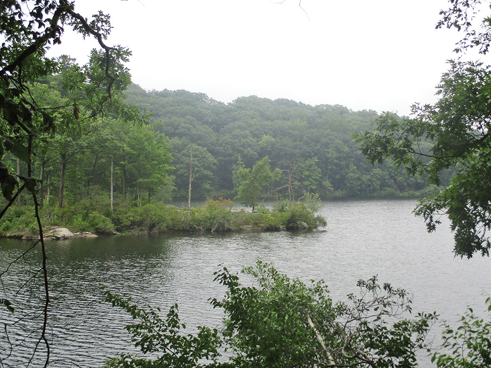
The red-blazed Perkins Access Trail begins on the left, but you should turn right to continue along the yellow-blazed Perkins Trail, which follows this grassy road. Soon, you’ll come to a T-intersection, where the yellow-blazed trail turns left. A short distance beyond, it reaches a junction with the blue-blazed Fahnestock Trail. The Perkins Trail turns left here, but you should bear right, leaving the Perkins Trail, and follow the blue blazes of the Fahnestock Trail. A short distance ahead, you’ll pass a large pond on the right, visible through the trees.
Just beyond the northern end of the pond, the trail bears right, crosses the pond’s inlet on a causeway, and begins a steady climb. At the crest of the rise, you’ll reach a fork. Here, the white-blazed Clove Creek Trail begins on the left, but you should bear right and continue to follow the blue-blazed Fahnestock Trail. After climbing a little, the trail descends a switchback, climbs a rock outcrop, and continues to ascend more gently through mountain laurel. Eventually, it turns right onto a woods road. The trail briefly turns left onto another woods road, then bears right and continues on a footpath through dense barberry bushes.
After a moderate climb, the blue-blazed Fahnestock Trail turns right onto a wide, grassy woods road. A short distance beyond, the red-blazed Charcoal Burners Trail joins from the left. Continue along the joint blue-and-red trail, which descends to Beaver Pond. The trail comes out along the shore of this beautiful pond, with a panoramic view over the pond. This is a good spot to take a break.
The trail now turns right, descends to cross the outlet of the pond on a concrete bridge, then climbs through highbush blueberry bushes and dense mountain laurel thickets to reach another junction. Here, the blue-blazed Fahnestock Trail turns left, but you should bear right and follow the red-blazed Charcoal Burners Trail.
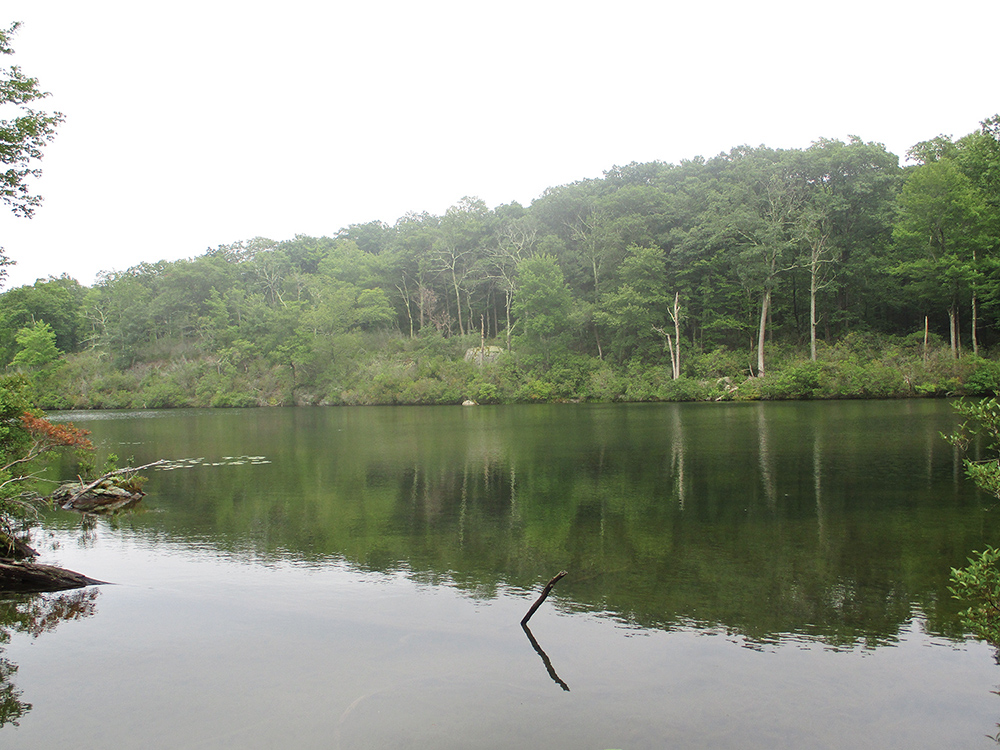
In a third of a mile, you’ll see on the right a triple-white blaze that marks the start of the Cabot Trail. Turn right onto the Cabot Trail, which descends gradually, reaching Jordan Pond in half a mile. Two short side trails lead down to the pond; the second trail (which leaves to the right just beyond the crossing of the pond’s inlet) reaches the shoreline at a rock ledge, with a broad view over the pond. A bench has been placed here for hikers to rest and contemplate the bucolic scene.
The Cabot Trail soon begins to ascend. In half a mile, it climbs stone steps and reaches a paved road. Turn right and follow the road a short distance to the parking area where the hike began.
This hiking article is provided by Daniel Chazin of the New York-New Jersey Trail Conference. The Trail Conference is a volunteer organization that builds and maintains over 2,000 miles of hiking trails and publishes a library of hiking maps and books. The Trail Conference’s office is at 600 Ramapo Valley Rd. (Route 202), Mahwah; (201) 512-9348; www.nynjtc.org. Daniel Chazin can be reached at [email protected].