This easy 5.8-mile loop hike follows carriage roads around the lesser used western section of Rockefeller State Park Preserve in Westchester County, New York. These wide carriage roads, constructed by the Rockefellers in the 1920s and 1930s, are surfaced with fine gravel and are relatively level, but there are a few moderate climbs and descents. The hike should take about three hours and dogs are permitted on leash (the preserve is a favorite place for dog walkers). Bicycles are not allowed in Rockefeller State Park Preserve, but they are allowed on the Old Croton Aqueduct, which is followed for about three-quarters of a mile at the start of the hike. The carriage roads are not blazed but many junctions are marked with blue wands that give the names of the trails.
To reach the preserve from Bergen County, cross the Tappan Zee Bridge and take Exit 9 (Tarrytown). Turn right at the traffic light onto Broadway (Route 9) and proceed north for 1.8 miles, entering the Village of Sleepy Hollow. Where Route 9 bears left (at an intersection with Route 448), continue straight ahead onto New Broadway (at a sign for Webber Park). In 0.2 mile, turn right onto Gory Brook Road and continue for about 700 feet. Park on the right side of the road before reaching a gate. GPS address: 100 Gory Brook Road, Sleepy Hollow, New York 10591. The preserve is about 30 miles from Teaneck, and it should take about 40 minutes to get there.
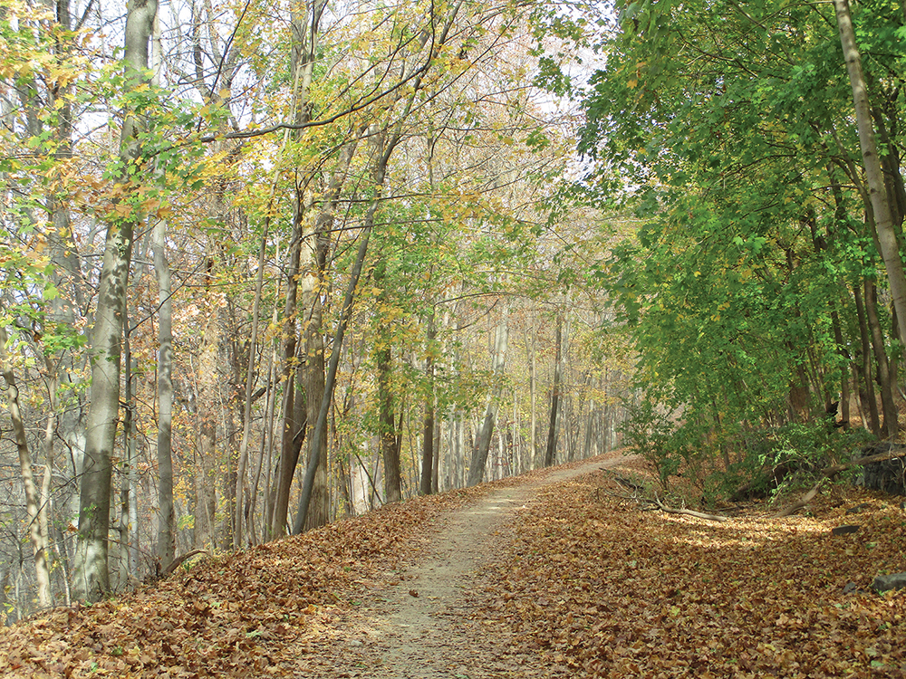
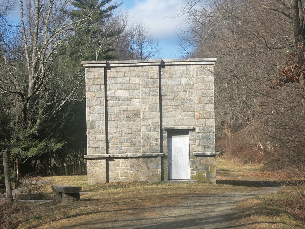
You will notice a grassy road just to the west of Gory Brook Road. Follow an unmarked path down to this road and turn right, heading north. You’re now following the route of the Old Croton Aqueduct, built about 1840 to supply New York City with pure water and now a state park. Soon, you’ll pass the Sleepy Hollow Cemetery on the left. In about half a mile, the aqueduct route curves to the left and crosses the Pocantico River on a high embankment. Just beyond, on the left, is a stone structure known as a weir. It contained gates that permitted the aqueduct to be shut off so that the area south of the weir could be drained for maintenance.
A short distance beyond the weir, you’ll come to a junction, where a dirt road enters from the right. Turn sharply right, leave the route of the aqueduct and enter the Rockefeller State Park Preserve. Almost immediately, you’ll reach a junction and turn right onto the Witch’s Spring Trail, which curves to the left and descends gently.
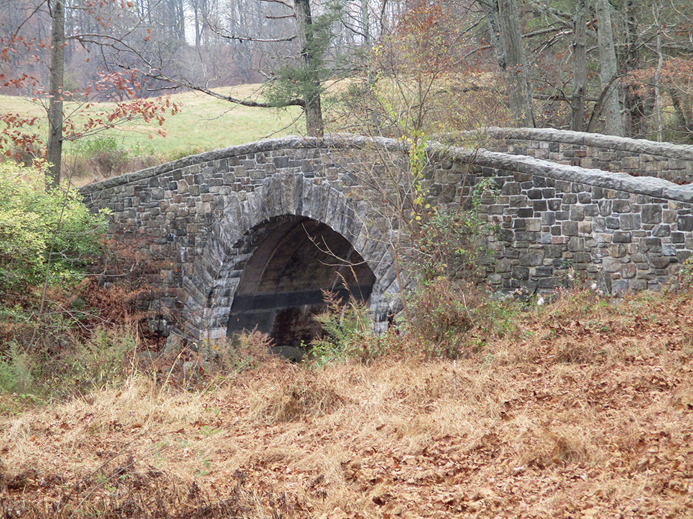
Soon you’ll reach an H-shaped junction. Here, you should turn sharply right onto the Big Tree Trail — a carriage road that initially parallels the road that you just walked on, but heading in the opposite direction. The trail descends to cross the Pocantico River on a stone-faced triple-arch bridge. To the right (west) is the massive embankment on which the Old Croton Aqueduct crosses the river. You just crossed this embankment a few minutes ago.
Immediately after crossing the bridge, turn left onto the Pocantico River Trail. You now begin to parallel the river, which is on your left. At the next intersection (with another stone arch bridge on the left), turn right. The trail shortcuts a sharp bend in the river, but the river soon reappears on the left.
Just beyond, you’ll cross the abandoned Gory Brook Road (note the old concrete bridge over the river on the left). A short distance beyond, you’ll reach another junction. Here, you should turn left to continue on the Pocantico River Trail, which crosses the river on a bridge. On the other side of the river, the Gory Brook Road Trail continues ahead, but you should turn right to continue on the Pocantico River Trail.
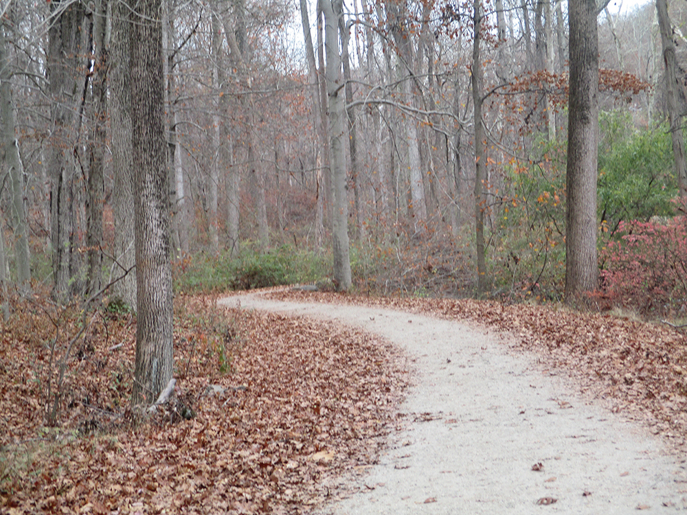
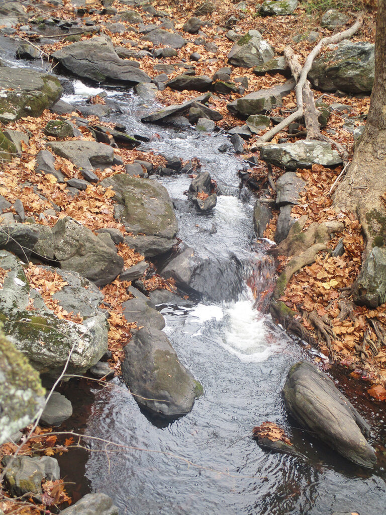
With the river now on the right, the trail passes several grassy meadows. Soon you’ll come to yet another intersection. Ahead and to the right, bridges cross the Pocantico River, but you should turn left to continue on the Pocantico River Trail. The trail heads north, with the river still on your right. You will begin to hear the sounds of traffic from the rather lightly used Sleepy Hollow Road, which now parallels the trail on the other side of the river. Soon you’ll come to a particularly attractive section of the river, where the water tumbles over cascades. A short distance beyond, you’ll reach a fork where the Eagle Hill Trail leaves to the left. You should take the right fork to continue on the Pocantico River Trail, but just beyond, continue straight ahead as the Old Sleepy Hollow Trail begins on the right.
Soon the trail crosses under the busy Route 117, which bisects the park. North of the overpass, the trail begins to move away from this limited-access road. Continue ahead at the next intersection, where a side trail goes off to the right (it leads to a roadside parking area on Old Sleepy Hollow Road). The Pocantico River Trail briefly parallels Old Sleepy Hollow Road Extension, then curves to the left and soon ends at a T-intersection with the 13 Bridges Loop.
Turn right and follow the 13 Bridges Loop, which climbs gently, following a winding route.
Upon reaching the northeast corner of this section of the park, the trail curves to the left and briefly parallels Sleepy Hollow Road. It now begins a steady descent on switchbacks. Near the base of the descent, it turns left and heads south, crossing a bridge over a branch of Gory Brook and then paralleling the brook, proceeding through an attractive evergreen forest.
After passing an abandoned bridge on the right, you’ll come to the first of 12 bridges over Gory Brook, all crossed in rather quick succession (the 13th bridge is the one on which you crossed the tributary stream near the base of the descent). You’ll again cross under Route 117 and reach a junction with the Gory Brook Road Trail. Continue ahead on the Gory Brook Road Trail for 250 feet, then turn right onto the Witch’s Spring Trail, which descends on a switchback to cross Gory Brook. Just beyond the brook crossing, turn right onto the Spook Rock Trail, which climbs briefly but rather steeply. Bear right at the top of the climb. Just ahead, the trail turns sharply left, skirting the rock after which it is named. At the next intersection, continue straight ahead, now following the Big Tree Trail (which also goes off to the right). Proceed ahead at the following intersection, and continue on the Big Tree Trail for another third of a mile until you reach the H-intersection that you encountered towards the start of the hike.

Bear left at the fork (do not turn sharply left) and continue ahead on the Big Tree Trail, descending to the Pocantico River (you briefly retrace your steps here). After crossing the triple-arch bridge over the Pocantico River, continue straight ahead. The Big Tree Trail begins to climb, and it soon curves to the right and ends at the abandoned Gory Brook Road. Continue ahead, proceeding south, and follow the abandoned Gory Brook Road back to your car. This road directly parallels the aqueduct and runs only a few feet from it, but it offers an experience rather different than the aqueduct route that you followed at the start of the hike.
This hiking article is provided by Daniel Chazin of the New York-New Jersey Trail Conference. The Trail Conference is a volunteer organization that builds and maintains over 2,000 miles of hiking trails and publishes a library of hiking maps and books, including a three-map set for Westchester Trails ($11.95). The Trail Conference’s office is at 600 Ramapo Valley Road (Route 202), Mahwah; (201) 512-9348; www.nynjtc.org. Daniel Chazin can be reached at dchazin@aol.com.


